
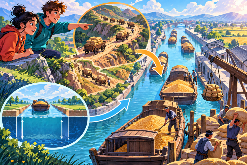
Imagine trying to supply a huge city before motorways, trains or lorries. Grain grows in one region; people and government are somewhere else. A boat can carry more than a person on a road, but rivers do not conveniently connect every place you need.
The Grand Canal was built and extended across many periods to link river systems and move goods, including grain. At its historical peak, UNESCO says the network stretched more than 2,000 kilometres. That figure sounds impressive, but the interesting question is who had to build and maintain it, and why so much effort was worth spending.
Connecting the route meant organising the traffic
UNESCO dates early sections from the fifth century BCE and describes the network’s first unified imperial role in the seventh century CE, under the Sui dynasty. The sequence matters. An old section and a later joined system are different achievements within the same long history.
By the thirteenth century, the network linked five major river basins. Rivers could provide routes in some directions while leaving gaps between the places that needed to communicate. Artificial waterways helped turn separate possibilities into a more connected system.
Think of a map with several useful roads that stop before meeting. Adding a short connection can change the journeys possible across the whole map. The canal’s scale was much greater, but the distinction between having routes and having a network remains helpful.
The water itself was not enough. UNESCO describes imperial arrangements for transporting grain and strategic materials, taxing traffic and managing the system. A cargo needed an organised journey as well as a channel wide enough to carry a boat.
Grain makes the purpose especially tangible. Moving food towards centres of population connected agricultural areas with people who depended on supplies from elsewhere. The route was therefore part of the relationship between countryside, towns and government, rather than simply a convenient place to sail.
Maintenance belongs in the story too. Successive dynasties completed, adapted and maintained the waterways. A line on a map does not show the continuing work needed to keep a connection useful, or the changes in which places had the strongest reason to use it.
That is why the largest number is only the beginning of an explanation. More than two thousand kilometres tells you about historical extent. To understand why it mattered, follow what moved, where it needed to arrive and who organised the journey. The canal was a physical route and a system of decisions working through that route.
The five basins included those of the Yellow River and the Yangtze. Joining major systems made the network more than one long channel running beside a single river.
A waterway as a decision
A canal changes more than journey time. It influences where supplies can go, which towns become connected and how a distant capital can be fed. It also changes landscapes and requires labour that a map line cannot show.
Do not picture one continuous canal working unchanged for two thousand years. Picture a long series of choices, repairs and extensions. The water carried grain; the route carried political power.
Explore next
- How can a river be guided without a dam?
- The Great Wall was built in chapters
- How can a wooden bridge hold together?
Sources
- UNESCO World Heritage Centre: The Grand Canal