Some places get introduced as nature, others as history. Mount Wuyi in Fujian refuses to stay in one box. UNESCO describes forests with remarkable biodiversity, the Nine Bend River and places connected with the development of Neo-Confucian thought. It also records an ancient Han-era administrative site nearby.
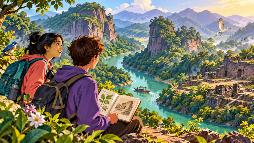
That is a lot for one landscape. Imagine travelling along a river and seeing a cliff, a plant you cannot name and traces of people who lived with the same terrain centuries ago. The mountain is not switching subjects; the subjects were always together.
Several histories beside one river
The Nine Bend River gives the landscape a visible connection. UNESCO describes cliffs and water alongside the remains of temples, monasteries and places of study. The scenery and cultural history are therefore connected geographically, even though they need different kinds of explanation.
An academy’s remains invite questions about people and ideas. A forest invites questions about habitats and species. Looking at both together does not mean the rock somehow caused a philosophy, or that every person in the area shared the same beliefs. It means that cultural work happened in an actual landscape.
The Chengcun site adds another period. UNESCO identifies it with a Han-era administrative capital, while the academies associated with Neo-Confucian thought belong to later history. Keeping those periods separate prevents a long human story from collapsing into one vaguely “ancient” scene.
Different evidence also answers different questions. A surviving wall can reveal part of a site’s layout. An inscription or a historical account might explain a use that the wall alone cannot. The attractive view supplies context, but it cannot substitute for either form of evidence.
The natural side of the property is equally varied. UNESCO records forest habitats and a wide range of plants and animals. A cliff beside the river is a striking feature, but it is only one part of a protected landscape extending beyond the view in a single photograph.
Management has to consider those connections too. Water quality and visitor pressure appear among the concerns in the UNESCO account. Enjoying a river landscape and caring for the conditions that sustain it are related activities, rather than competing explanations of why the place matters.
A useful visit or reading of the site can therefore change focus several times: from a view to a habitat, from a ruined structure to the period it belongs to, and back to the surroundings they share. The landscape becomes richer because you keep the distinctions, not because you force everything into one story.
What would your map show?
One map could mark habitats. Another could mark old buildings and paths. Put them on top of each other and new questions appear. Where did people choose to build? How did the river help them travel? Which areas need space for wildlife now?
UNESCO calls Mount Wuyi important for both natural and cultural reasons, but that status does not make every path easy or every view open. Protected places have rules and practical limits. A visitor’s job is partly to notice why those boundaries exist.
The next time somebody asks whether you prefer science or history, you could point to a place like this. A mountain can hold plants, ideas and human choices in the same view. The interesting part begins when you stop trying to separate them.
Two other mountain landscapes offer different questions about forests and the lives they support: Why is a mountain also a library of insects? and Who lives on a mountain above the clouds?.
Sources
- UNESCO World Heritage Centre: Mount Wuyi